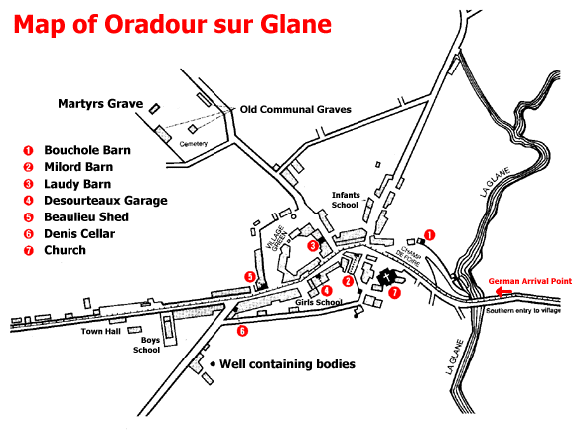
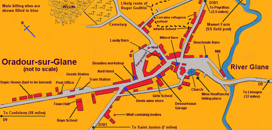
| The map shown above was
scanned from a book which I purchased in the book store of the
Center of Memory at Oradour-sur-Glane. It shows the six killing
sites where the 190 men were murdered and the location of the
Church where the women and children were killed. |
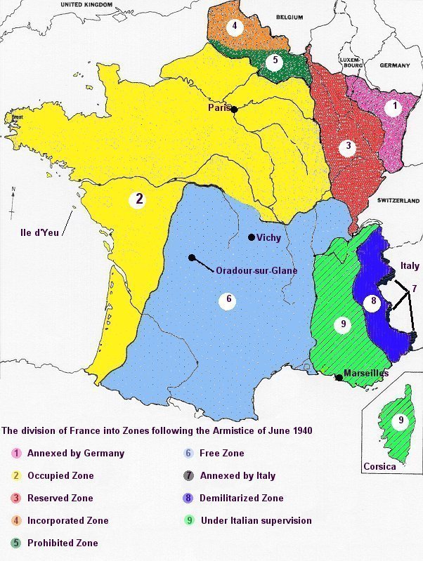
Map of France after surrender
to Germany, 1940
|